Dades de Bāmasī
| Hora local | |
| Zona horària | Hora estàndard de l’Iran |
| Lat. i lon. | 36.89921, 50.58981 |
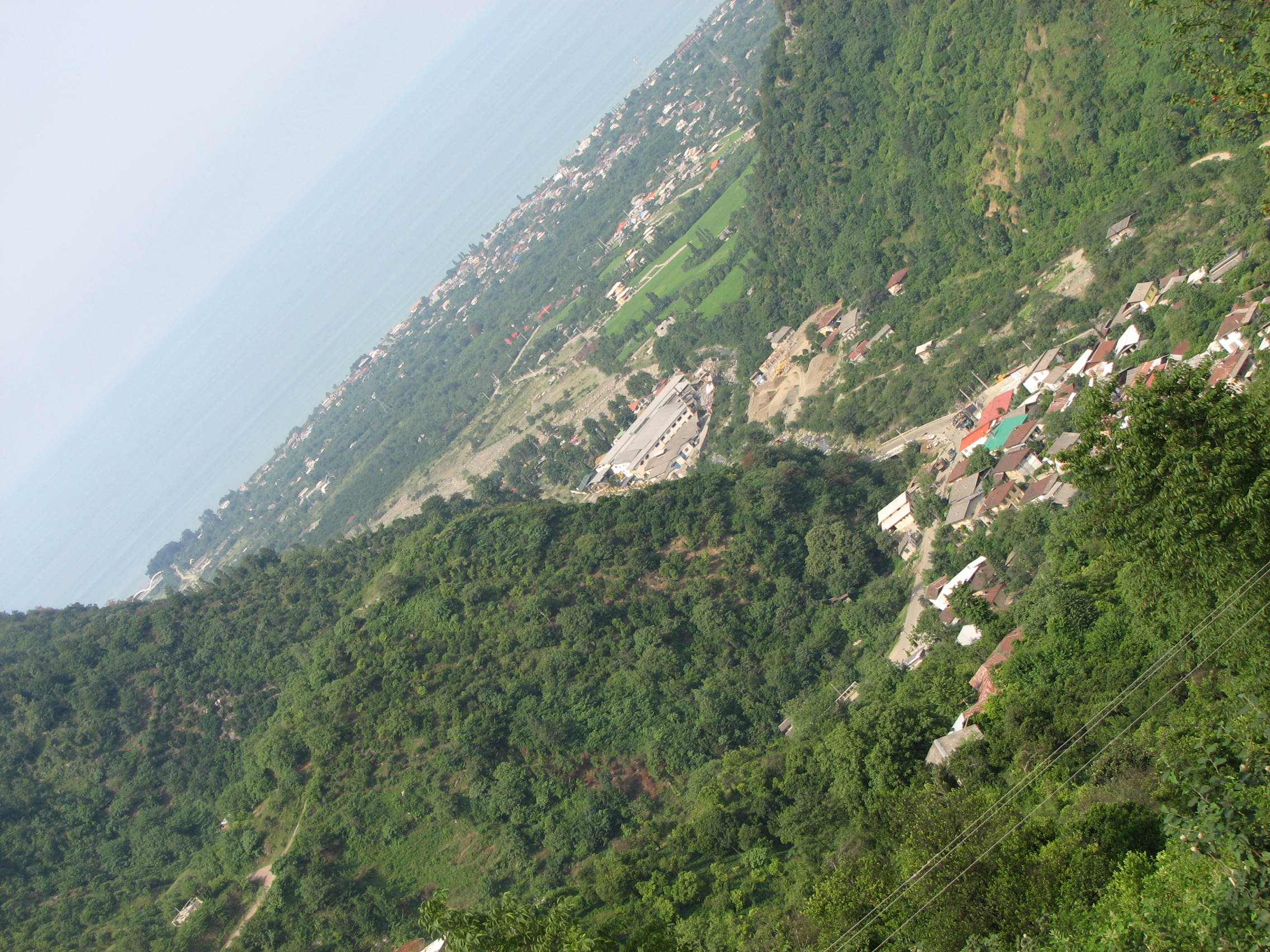
Mapa de: Bāmasī
Mapa interactiu
Terratrèmols propers recents
Magnitud 3.0 i superior
| Data▼ | Hora↕ | Magnitude↕ | Distance↕ | Profunditat↕ | Ubicació↕ | Enllaç |
|---|---|---|---|---|---|---|
| 12/5/17 | 3:27 PM | 4.8 | 45.6 km | 10,000 m | 5km ESE of Langerud, Iran | usgs.gov |
| 5/10/15 | 10:08 PM | 4.3 | 66.9 km | 10,000 m | 47km NNW of Qazvin, Iran | usgs.gov |
| 7/27/12 | 9:39 PM | 4.4 | 67.8 km | 6,500 m | northern Iran | usgs.gov |
| 7/27/12 | 9:19 PM | 4.2 | 64 km | 6,100 m | northern Iran | usgs.gov |
| 9/13/08 | 7:24 PM | 4.2 | 78.5 km | 1,000 m | northern Iran | usgs.gov |
| 6/4/07 | 8:04 AM | 3.9 | 85.1 km | 3,900 m | northern Iran | usgs.gov |
| 2/22/06 | 11:19 PM | 4.1 | 89 km | 15,000 m | northern Iran | usgs.gov |
| 6/7/04 | 4:01 AM | 4.3 | 84.1 km | 14,100 m | northern Iran | usgs.gov |
| 5/30/04 | 7:26 PM | 4.4 | 99.9 km | 10,000 m | northern Iran | usgs.gov |
| 5/30/04 | 1:09 PM | 4.2 | 80 km | 10,000 m | northern Iran | usgs.gov |

Sobre les nostres dades
Les dades d'aquesta pàgina s'estimen utilitzant diverses eines i recursos disponibles públicament. Es proporciona sense garantia i pot contenir inexactituds. Utilitzeu-lo sota el vostre propi risc.